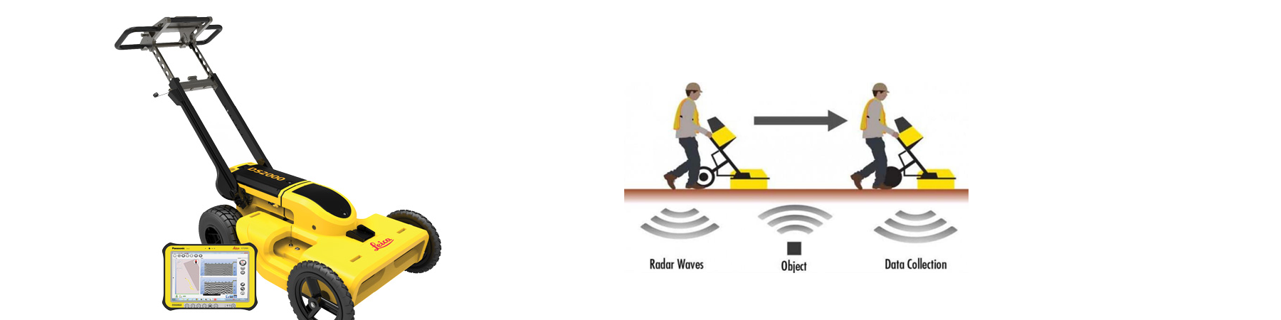
Ground penetrating radar (GPR) is a geophysical locating method that uses radio waves to capture images below the surface of the ground in a minimally invasive way. The huge advantage of GPR is that it allows crews to pinpoint the location of underground utilities without disturbing the ground.
Our GPR uses energy waves in the microwave band, ranging in frequency from 1 to 1000 MHz. This GPR requires two main pieces of equipment – a transmitter and a receiving antenna. The transmitter sends electromagnetic energy into the soil and other material. Ground Penetrating Radar works by emitting a pulse into the ground and recording the echoes that result from subsurface objects.
GPR imaging devices also detect variation in the composition of the ground material.
If the electromagnetic impulse hits an object, the density of the object reflects, refracts, and scatters the signal. The receiver detects the returning signals and records variations within them. The GPR system has software that translates these signals into images of the objects in the subsurface. This is how it is used to map structures and utilities buried in the ground or in man-made structures.
Ground Penetrating Radar signals can be used to find a wide range of items. This this subsurface tool is most effective when there is a large difference between the electromagnetic property of the target and surrounding material. GPR is often used to map items made of the following materials:
• Metal,
• Plastic,
• PVC,
• Concrete,
• Natural materials.
• The possible applications are virtually endless. GPR is frequently utilized to detect:
• Underground utility lines and pipes,
• Changes in ground strata,
• Geological features and rock obstructions,
• Air pockets or voids,
• Excavated and back-filled areas,
• Groundwater tables,
• Bedrock.
Copyright © 2020 Axis Gemilang Sdn. Bhd. All rights reserved.