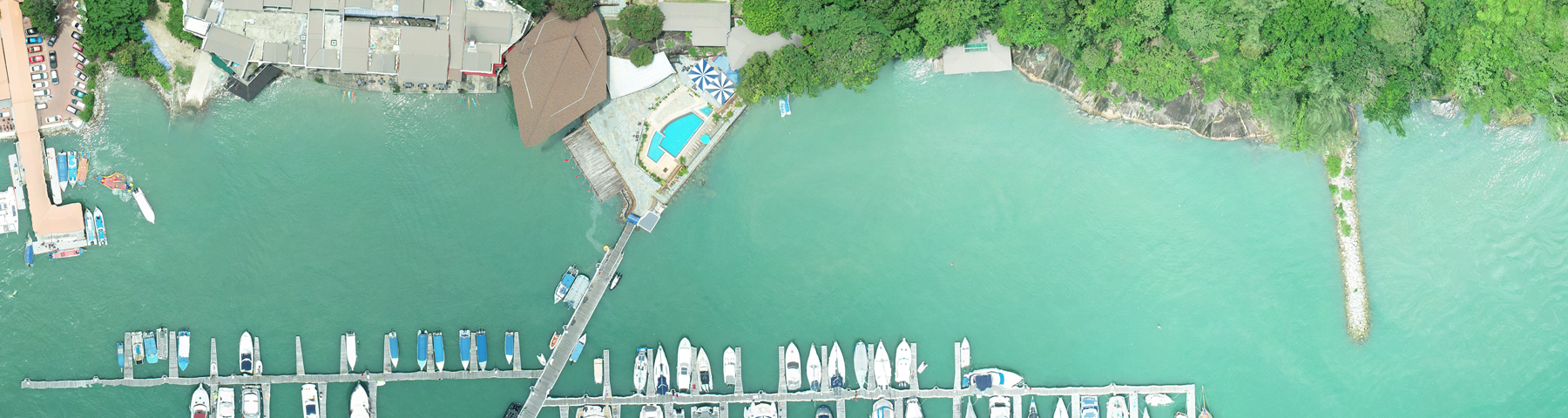
AERIAL PHOTO & ORTHOPHOTO SERVICES
We offer 4 types of Unmanned Aircraft for Aerial Mapping Services.
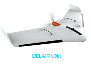
The Delair UX11 is a fixed-wing professional mapping drone offering significant productivity gains, unprecedented ease of use and high quality aerial data acquisition.
The Delair UX11 is an ideal drone solution for highly precise and easy mapping. It delivers integrated features for before, during and after flight operations, including an embedded global shutter camera, centimeter-level precision GNSS sensor, post processed kinematic (PPK) capabilities for survey-grade results, and both 2.4 GhZ wireless and 3G/4G cellular connectivity to operate anywhere. The drone’s operational performance (allowing flights of up to 59 minutes covering over 300 acres at 400 feet) significantly lower the total cost of ownership compared to other surveying and mapping options.
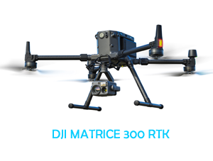
The Matrice 300 RTK is DJI’s latest commercial drone platform that takes inspiration from modern aviation systems. Offering up to 55 minutes of flight time, advanced AI capabilities, 6 Directional Sensing & Positioning and more, the M300 RTK sets a whole new standard by combining intelligence with high-performance and unrivalled reliability.
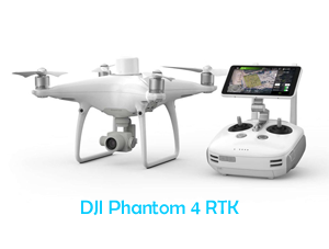
The Phantom 4 RTK represents the perfect synchrony of price point, level of accuracy, and reliability.
An on-board real-time kinetic sensor geotags each image as it’s captured, so when the aerial data is corrected against ground control, surveyors are able to reach centimeter-level accuracy. Not only are they reaching 1/10ft (3cm) accuracy, they’re doing so every time they fly.
The difference RTK makes
With the introduction of the RTK technology, DJI has brought surveying workflows closer to real-world accuracy than ever before—we’re talking accuracy down to 1/10ft (3cm).
To achieve centimeter-level accuracy, the Model uses TimeSync technology to coordinate its camera and RTK receiver, ensuring the most accurate geospatial information is tagged to each and every image. In addition, TimeSync centers the positioning data to the optical center of the camera, which helps ensure data accuracy is maintained during processing.
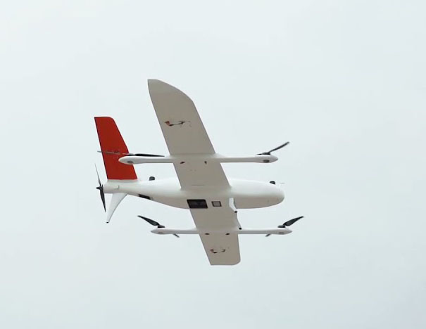
Our latest Fix Wing drone is a long endurance VTOL Drone for surveying and mapping activities.
The P330 Pro VTOL drone is characterized by an ultra-efficient aerodynamic design and can reach 150 minutes of endurance with its payload to cover large areas per flight. With advanced power management and superior navigation algorithms, the P330 Pro can accurately map a region of 20 km² at a scale of 1:2000. Mapping highway corridors and surveying open-pit mines are now within reach in a single flight.
Copyright © 2024 Axis Gemilang Sdn. Bhd. All rights reserved.