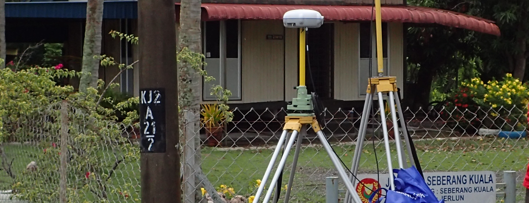
LAND SURVEYS
We are professional land surveyor with vast experiences conducting construction survey, engineering survey and topographic survey around Malaysia.
Construction Survey
This type of survey requires staking out structures located on the property, including walls, buildings, roads, and utilities. Staking provides construction personnel with directions for implementing the improvements shown on the development plans. A construction survey may also involve both horizontal and vertical grading in addition to an As-Built survey.
Engineering Survey
New constructible projects typically begin with an Engineering Design Survey, requested by the civil engineer in charge of the project design. These surveys include ground level topography, and the location and documentation of visible evidence of existing improvements.
During the design survey, the Professional Land Surveyor works closely with the civil engineer to gather the “as-built” existing site conditions in and around the proposed project, and determine all of the controlling elements to be used as the basis for the project design.
Topographic Survey
The purpose of this survey is to locate both natural and man-made topographic features on a parcel of land. Examples of such features include fences, utilities, buildings, elevations, streams, trees, improvements, and contours. A topographic survey may be required by a state or local government agency or might be used by architects and engineers for planning site improvements and developments.
A topographic survey is typically implemented through a combination of aerial photography and ground field methods. This type of survey is not limited by property boundaries.


Copyright © 2024 Axis Gemilang Sdn. Bhd. All rights reserved.